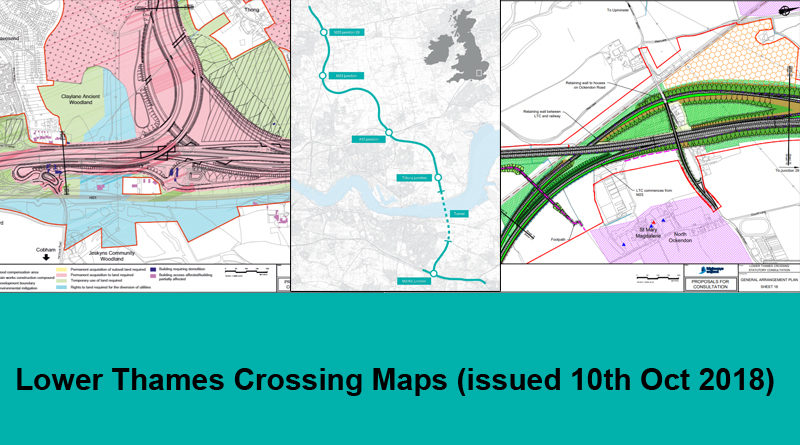
Lower Thames Crossing Maps (issued 10th Oct 2018)
New Lower Thames Crossing maps were issued on the 10th Oct 2018 by Highways England as part of the Statutory Consultation documentation.
The main map that most people refer to when reviewing the route of the proposed LTC is Map Book 2 which shows the land use legends. You can zoom in and out on the map embedded into our site just below here, or alternatively you can click through and view/download it on the Highways England Lower Thames Crossing website
- Map Book 2 – Land Use Plans 11.9 MB (PDF document)
Click the + and – to zoom in and out on the images, and the arrows to move through the document in the pdf above.
All maps are available to view, and download on the Highways England Lower Thames Crossing website:
- Map Book 1 – General Arrangements 26.5 MB (PDF document)
- Map Book 3 – Engineering Plans 13.3 MB (PDF document)
- Map – General Arrangement of Whole Scheme 20.5 MB (PDF document)
- Map – Large Scale General Arrangements 25.6 MB (PDF document)
- Map – Land Use Plan 3.7 MB (PDF document)
When viewing some of the maps you will likely find it helpful to look on Google Maps or similar to help identify places on the the HE maps as the maps that they overlay their plans on are often not very detailed.
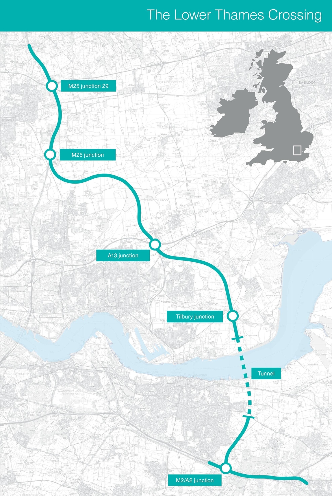
A quick overview
This is image shows the whole route which is helpful to get a quick overall view of where the LTC route is proposed to go. Note that the Tilbury Link road was removed when Highways England released the Lower Thames Crossing maps that were issued on 10th Oct 2018. It is also worth noting how far north the proposed LTC goes, way past J29 on the M25, as many think of it simply as a river crossing and don’t realise the real impact and exactly how extensive the whole route and it’s impact would be.