
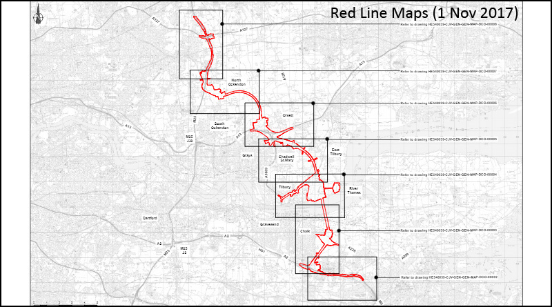
Updated Red Line Maps (1st Nov 2017)
Here are updated Red Line Maps (1st Nov 2017) taken from Highways England website. An overview of the route followed by zoomed in maps of areas along the route.
RedLineMaps1Nov2017-Development Boundary
Click the + and – to zoom in and out on the images, and the arrows to move through the series of maps in the pdf above
Comparison
An overlay map of ‘before’ & ‘after’ again showing the overview of the route followed by zoomed in maps of areas along the route.
RedLineMaps1Nov2017-Development Boundary Comparison
Click the + and – to zoom in and out on the images, and the arrows to move through the series of maps in the pdf above
Updated Red Line Maps (1st Nov 2017)
If you wish to download these maps they are available on the Highways England website:
Red Line Development Boundary Comparison
Read our article about this latest HE update here
Don’t forget there is a TCAG community meeting coming up on Sun Nov 26th, please help spread the word and come along if you can. We’re all in this together, and our strength is in unity!